

Top Tools to Create Fun Interactive Space Maps
Introduction
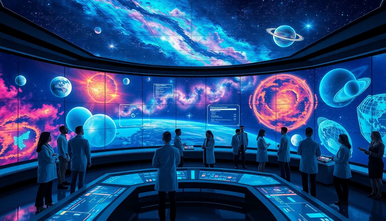
Space has always fascinated humans. From ancient stargazing to modern space missions, our curiosity about the universe keeps growing. Educators, students, and space fans love tools that make exploring space fun and easy. Interactive space maps bring complex data to life, turning learning into an adventure. Thanks to new technology, creating immersive and captivating space visualizations is now simpler than ever. Whether for teaching, presentations, or just entertainment, these tools make exploring the cosmos exciting. This article highlights the best tools to help you craft fun, interactive space maps that will wow any audience.
Why Interactive Space Maps Are Essential
Educating with Engagement
Interactive maps help students learn faster. They turn passive watching into active discovery. Studies show that visual and interactive learning boosts retention. Kids and adults alike remember more when they can explore space actively.
Increasing Accessibility and Engagement
Complex space data can be overwhelming. But when made interactive, it becomes easier to understand. NASA uses interactive maps online to share space info with the public. These tools make space science accessible to everyone, no matter their background.
Practical Applications
These maps aren’t just for class. They are great for planetarium shows, space research, or even fun games. They help scientists visualize data and give the public a better view of our universe. Creators can build stunning experiences for entertainment, too.
Top Tools for Creating Interactive Space Maps
1. NASA’s Eyes Visualization Tool
Overview
NASA’s Eyes is a free tool designed for everyone. It lets users explore real-time space missions and the solar system in 3D.
Features & Benefits
- Watch live space missions unfold.
- Explore planets, asteroids, and spacecraft.
- No download needed, easy to use.
Use Cases & Examples
Schools use NASA’s Eyes to teach about space exploration. Space enthusiasts enjoy virtual tours of the planets. It’s a must-have for anyone wanting a true-to-life experience.
2. Celestia
Overview
Celestia is open-source software perfect for creating detailed space scenes and tours. It’s a favorite among hobbyists and educators.
Features & Benefits
- Accurate 3D universe rendering.
- Customize your tours and scenarios.
- Free and easy to modify.
Use Cases & Examples
Build your own space journeys or show students how planets orbit. It’s flexible enough for all levels of space exploration projects.
3. Stellarium
Overview
Stellarium is a popular planetarium program that works on computers and tablets. It offers a realistic night sky simulation.
Features & Benefits
- View stars, planets, and constellations.
- Change location and time for different skies.
- Create custom star maps.
Use Cases & Examples
Use Stellarium for classroom lessons or public star shows. It’s great for giving viewers a sense of real astronomy from anywhere.
4. Atlas of the Universe
Overview
This web app offers an interactive, large-scale view of the universe. It’s a visual guide to galaxies, dark matter, and space structures.
Features & Benefits
- Explore the universe’s biggest objects.
- Smooth navigation and zoom.
- Designed for easy use.
Use Cases & Examples
Ideal for teachers and science sites. Students can explore the universe’s vastness in a simple, intuitive way.
5. SpaceEngine
Overview
SpaceEngine creates highly detailed, lifelike 3D models of the universe. Its realism makes it perfect for serious projects and cinematic videos.
Features & Benefits
- Explore billions of planets, stars, and galaxies.
- Create custom flight paths.
- Supports high-quality visualization.
Use Cases & Examples
Used by scientists and filmmakers for visualizing space. Also popular for virtual reality experiences.
6. Google Earth Earth Studio with Space Layers
Overview
With Google Earth’s space layers, you can animate satellite images over Earth and beyond. It’s simple to add animated overlays.
Features & Benefits
- Create engaging planet and space videos.
- Combine satellite data with space imagery.
- Easy to use with existing Google tools.
Use Cases & Examples
Showcase space missions or Earth’s connection to space in educational videos. Perfect for making dynamic presentations.
Actionable Tips for Creating Engaging Interactive Space Maps
- Mix different tools for layered views and richer experiences.
- Tell a story—guide viewers through your map.
- Use high-quality images for realism.
- Test your map on various devices for smooth use.
- Explore tutorials from developers to improve your skills.
- Publish your work online or share with social media for more reach.
Challenges and Considerations
Some tools need technical knowledge. Maintaining balanced detail is key—don’t overload your map. Also, ensure your maps work well on desktops, tablets, and smartphones. Keep content updating as science makes new discoveries. Staying current helps keep your audience engaged.
Future Trends in Space Map Creation
AR and VR will bring space maps into physical space. Imagine exploring the universe with glasses on. AI can help update maps automatically with fresh data. More collaboration features will let communities create and share spaces together. Better data visualization will make real-time space info more accessible.
Conclusion
Interactive space maps boost learning, outreach, and fun. From NASA’s Eyes to SpaceEngine, these tools offer endless possibilities. Experimenting with them can inspire curiosity and deepen understanding of our universe. Whether by teaching kids or creating stunning visual tours, these tools open the door to space exploration for everyone. Dive in, explore, and share your cosmic creations!